This dun is located about 1.5km to the south of Swordle, deep in the forestry. Despite it being a scheduled monument, there is very little written about it – see Historic Environment Scotland’s description here, where they call it the Lochan an Ime dun.
In January 2017 members of AHHA visited the dun, regrettably in very poor weather, but they were able to re-measure and re-describe the site, finding it considerably larger than HES – some 23.5m by 14m – and with two walls at both NNE and SSW ends. The description from that day is here.
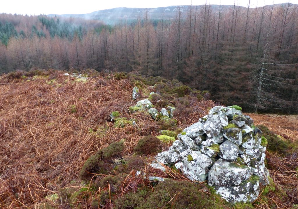
Above picture shows summit of the knoll, with the depressed area to the left, the west wall, and the more recent cairn.